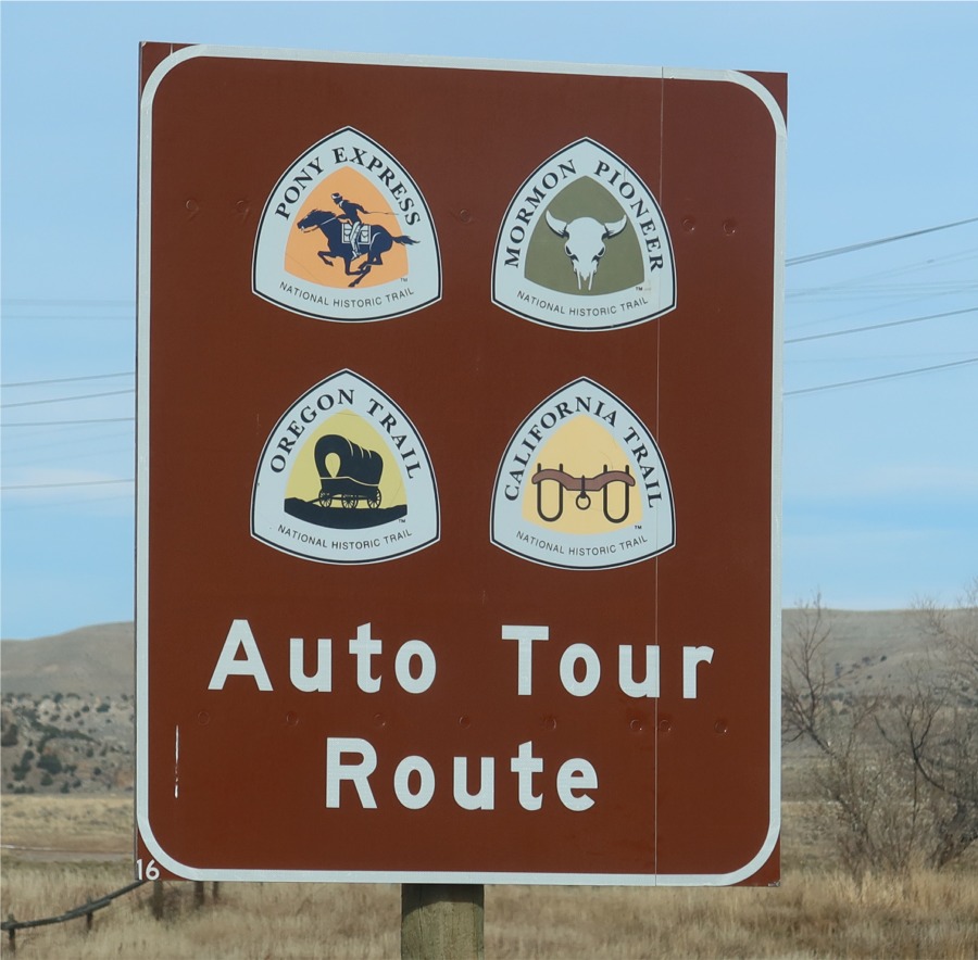
All Westward Trails Passed This Rock
The Oregon Trail Camping Road Trip
November 2021
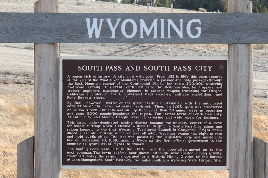
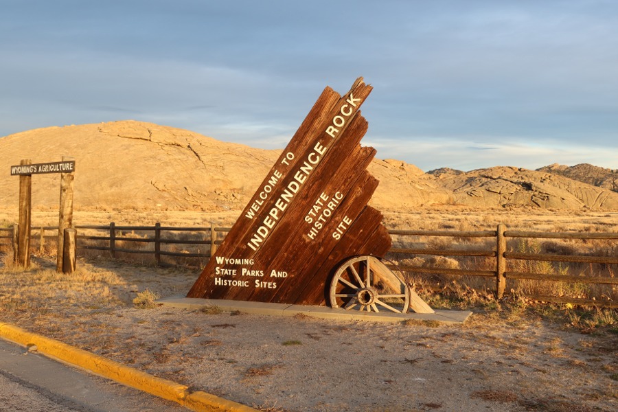
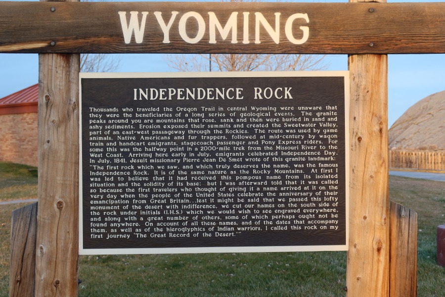
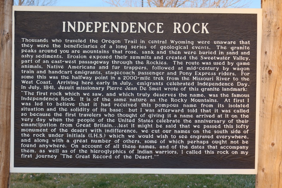
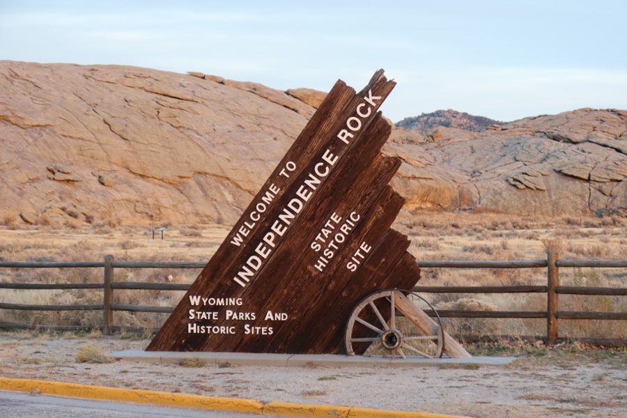
Independence Rock
All Westward Trails Passed This Rock
(My Personal Notes)
Named Independence - This rock was the halfway
point between Independence Missouri
and
Oregon City Oregon. Timing was everything.
Leaving Missouri was based on the timing of spring.
Once the rainy season ended and fields of grass
ripe for supplying "fuel" for the animals, travel
had to begin so that crossing of the Rocky Mountains
before the first snow fall was imperative.
This rock happened to be the half way point
"mile maker" that should be reached by July 4.
On July 4, 1830 this rock was so named Independence
by fur-trappers present at this location and on that day.
Many a traveler later engraved
their name on this rock
while others read the names of previous travelers engraved.
This rock was also named "Register Rock" in 1841
because of the number of names recorded here.
(My Personal Notes)
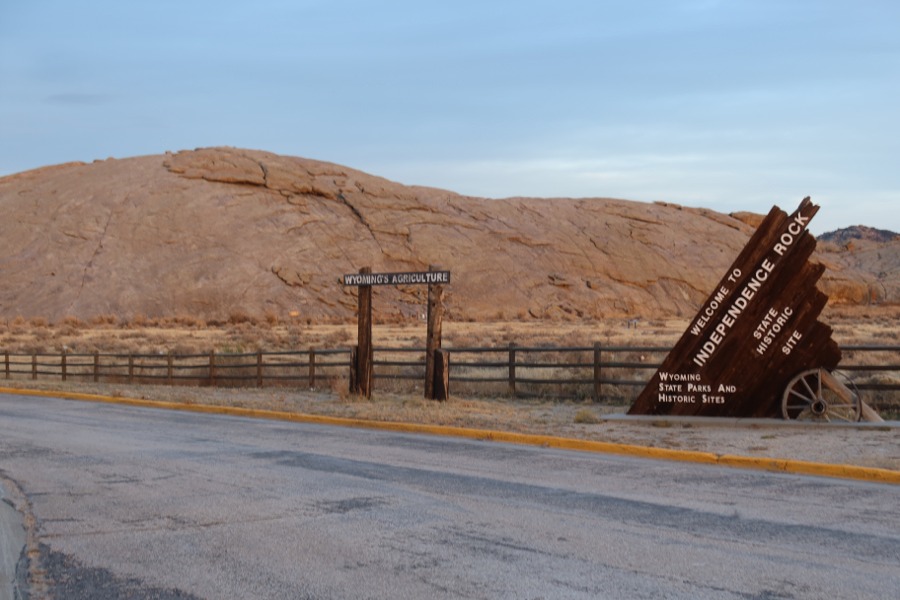
PLEASE NOTE: This rock was on the
best route
over the Rocky Mountains
without travelers
experiencing extreme difficulties crossings elsewhere.
It was first used by wildlife and later discovered
and considered a secret
passage
by Native Americans.
Another
rock formation
near Independence Rock
named "Devil's Gate"
by the Native Americans
who believed this whole area
should be avoided and
not be hunted because
of the evil sprints present.
Once white hunters and trappers
discovered
this
"secret" and desirable wildlife passage
over the Rocky Mountains,
all travelers
and
trails crossed the mountains here.
Once over the Rockies, all trails split off
in several different directions toward
California,
Oregon, Santa Fe, and Salt Lake.
Before reaching Independence Rock and
Devil's Gate, all westward travelers had traveled
the same trail route together up to this point.
After crossing the Rockies here, each trail
headed off in different directions.
(My Personal Notes)
The mountains formed first, the rivers then carved
through the rocks providing vegetation for wildlife.
Multiple rivers, creeks, and streams became the roadbed
while vegetation and wildlife then allowed the first
humans the supply chain and routes to follower.
One could travel this great landscape coast to coast
and in any direction and find all the necessities
of life provided for the taking.
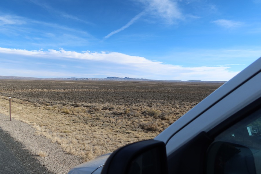
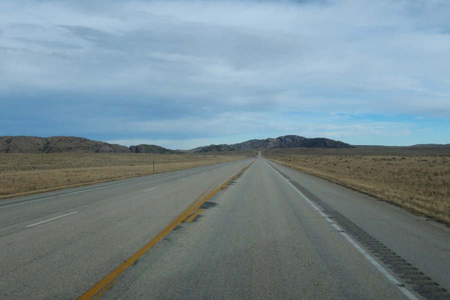
Today, I find the roads to this great gateway
to the west
to still be no easy task.
There are no nearby interstate
highways, no restaurants or hotels or any modern
town near this crossing. Independence Rock has no
address for using a GPS. This location still remains
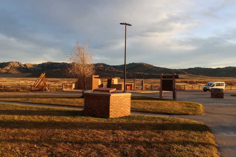
somewhat a secret. I camped at a provided rest stop
near Independence Rock like so many do now, as a
reminder
of the early travelers who found rest and
comfort here knowing they were now leaving
their past behind them and truly had gained their
real independence at this rock that was so named.
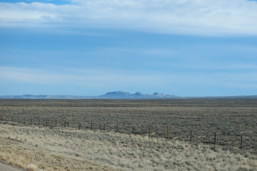
This and many other high mountain ridges were
sight
points guiding the travelers along the way.
This ridge was to the east side of the highway 287
leading to Independence Rock and Devil's Gate..
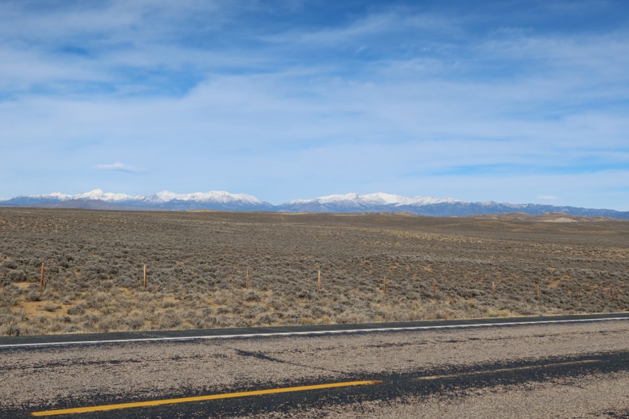
This ridge was to the west side of the highway
287.
This was the mountain range the travelers desired not to cross.
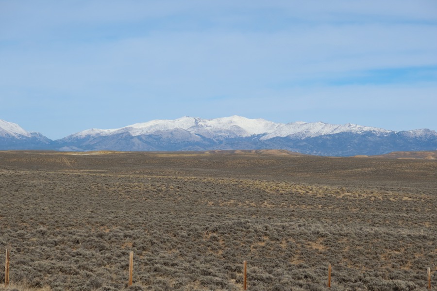
Independence Rock in the distance near this
maker mountain ridge. Nightfall was coming quickly.
I was had planned to spend the night here at Independence Rock
and to enjoy the experience of a sunrise in the morning.
I was in no way disappointed.
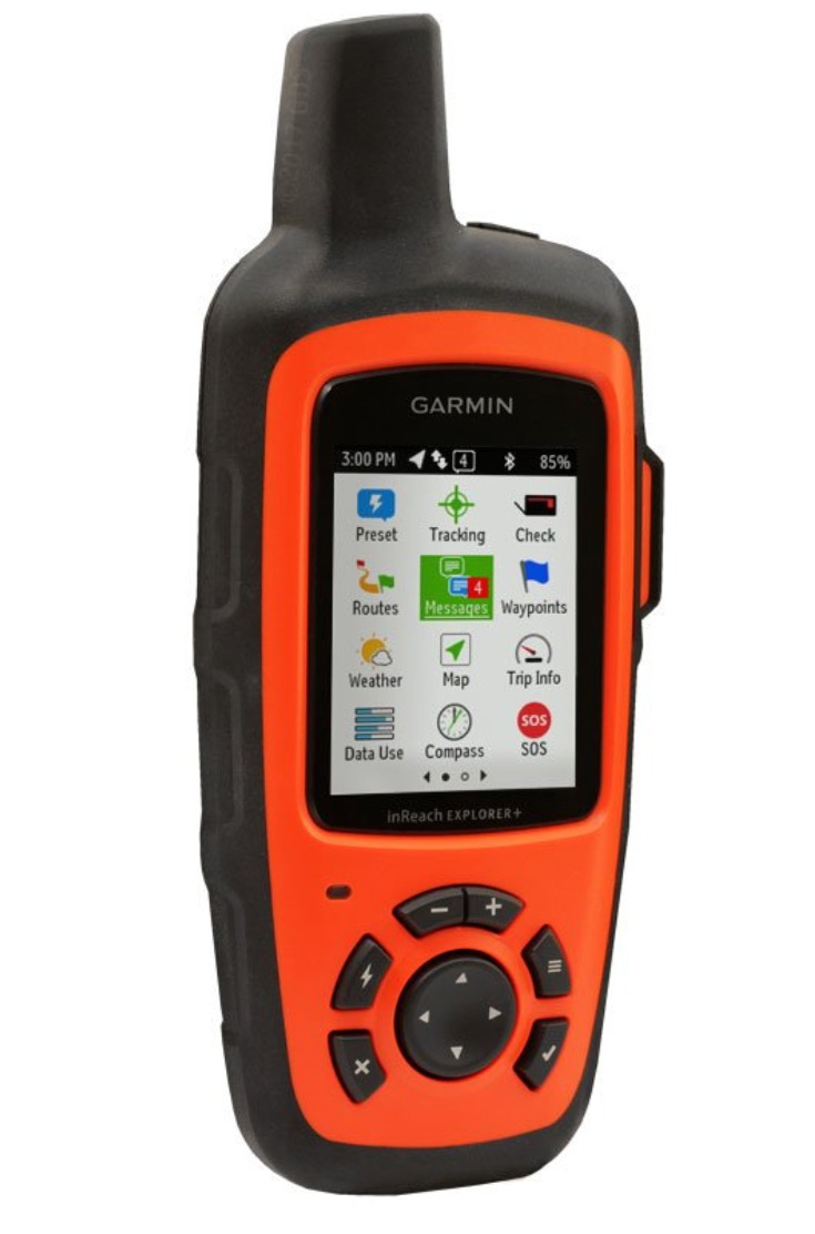
Using my handheld satellite messenger, I
notified
family
know where I spending the night.
There was no internet or cell service here.
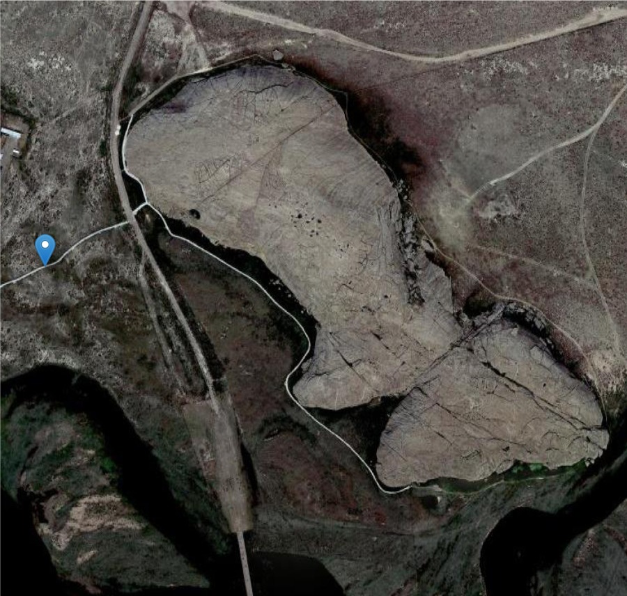
An aerial map from my satellite handheld
shows my family at home my exact camp location
indicated in blue on the map.
.